Cime du Pied de Barry
At the moment I am working through the International Mountain Leader (IML) award. Part of this means logging mountain walking days outside the UK, so it seems like a good idea to post some route descriptions of the better routes here for others to follow, and in anticipation of being qualified to lead these walks in France in the future. At the moment I can lead groups walking in the UK but as always things are tougher in France.
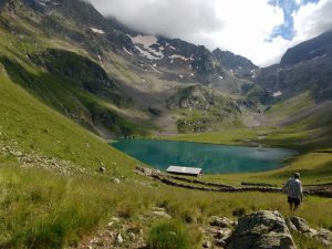
This walk is above Venosc, and opposite Les Deux Alpes. In fact a lot of the walk is visible from Deux Alpes. It is a walk of contrasts, with the first section following the popular footpath to the Refuge and Lac de la Muzelle. After this, the trail is rarely travelled, and in fact I did not see another person, except for a passing paraglider, until I arrived at the hamlet of Lanchatra.
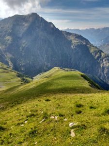
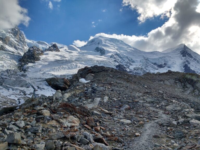
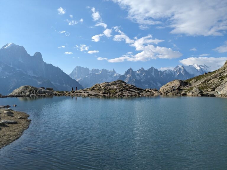
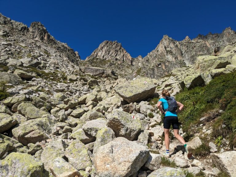
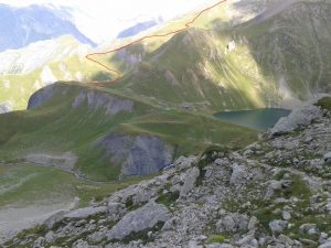
The walk sets of from Bourg d’Arud, passing the Cascade campsite and climbing through the woods towards the refuge and lake. Just before reaching the lake, a faint path leads off left over a grassy shelf, before climbing to a grassy ridge. A steep climb up this leads to a scrambling section to gain the lower part of the north-east ridge of the Muzelle. This is the high point of the walk – the intriguingly named Cime du Pied de Barry (peak of Barry’s foot) at 2637 metres.
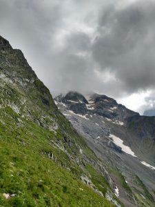
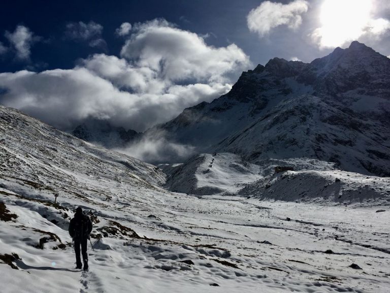
The north-east ridge is followed downwards to the Col de la Coche de Lanchatra. This is the most spectacular part of the walk, high up on the Muzelle, miles from another person, teetering along an airy ridge where the earth seems to meet the sky.
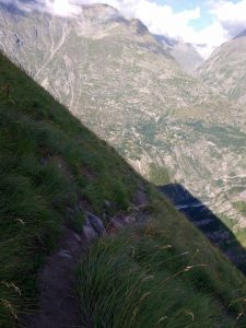
From the col, the thin ribbon of a footpath traverses steep slopes high above Lanchatra before plunging sharply downwards. The path is under-used and in places hard to follow, but difficult sections are protected by well maintained, modern cables and rungs.
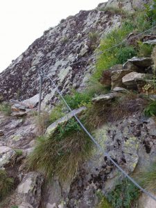
The route winds through crags then forests until you reach the hamlet. Often these alpine hamlets, reachable only by footpath, are sleepy half abandoned places. But when I arrived at Lanchatra it was full of life. Children played in the alleys between the houses, chimneys smoked, cooking smells wafted from kitchens and people relaxed in their gardens. A tranquil picture of village life in a place where all supplies have to be carried up a steep winding footpath from Plan du Lac.
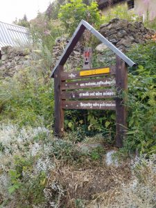
After the village, the path is better, and clearly well used. It joins the banks of the Veneon river and follows it for a while before joining the road that connects Venosc to St Christope. After a few hundred metres it is possible to leave to road again to follow a final section of riverside path back to the starting point.
This is a delightful walk, giving a circular route that takes in some unexplored corners of the Oisans massif. From a scenic lake view to wild ridge walking to a delightful Alpine village, the route has something for everybody.

